
Turn the whole NYC market into a defensible weekly shortlist.
Scan one citywide opportunity map, remove stale project leads, compare current evidence, and move only the parcels worth team time into diligence.
Historical rank is a screening order—not seller intent.
Illustrative product preview. CityLens surfaces screening evidence; it does not issue appraisals or buy/pass recommendations.
See the market. Commit to the few.
CityLens keeps historical screening, current eligibility, diligence, and the team's decision visibly separate.
Swipe through the decision flow.
- 1Scan one citywide market
Rank current development-site leads across all five boroughs on one map.
All NYC · one map - 2Open the current evidence
Keep historical rank separate from projects, capacity, ownership, constraints, and source dates.
Rank ≠ seller intent - 3Compare before committing
Compare two or three parcels and export their source-dated evidence.
2–3 parcelsevidence desk - 4Advance with a reason
Save, assign, underwrite, pursue, or pass with a dated record.
reviewpursue / pass
When a parcel warrants a deeper site read.
Escalate from parcel records to dated aerial change and LiDAR reconstruction. Real output below from the Brooklyn demo.
Swipe to inspect all three outputs.
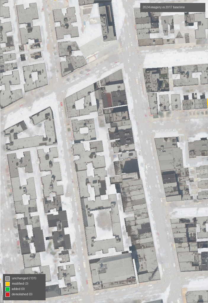
Aerial imagery with per-building fills and outlines, ready to share.
- unchanged127
- modified7
- demolished0
- added0
{
  "kind": "modified",
  "iou": 0.74,
  "height_m": 12.4
}Drop into three.js / Blender / Unreal. Vertex-colored so the change palette renders without extra work.
Site-evidence runs stay reproducible.
Each advanced run records hashes for its imagery, footprint, and LiDAR inputs, keeping every artifact tied to its source.
Imagery, footprints, and LiDAR are fingerprinted in run_summary.json.
Year, baseline, and model options are governed by the server.
Segmentation, change, and mesh checks stay with every run.
Featured demos
Real precomputed CityLens runs. No sign-in required.
Swipe through real NYC examples.
Start with the citywide shortlist. Escalate only the parcel that earns it.
Open the 5,000-lead workspace, or create dated aerial and 3D evidence for a specific NYC address.